Library Research Guides
Library Research Guides
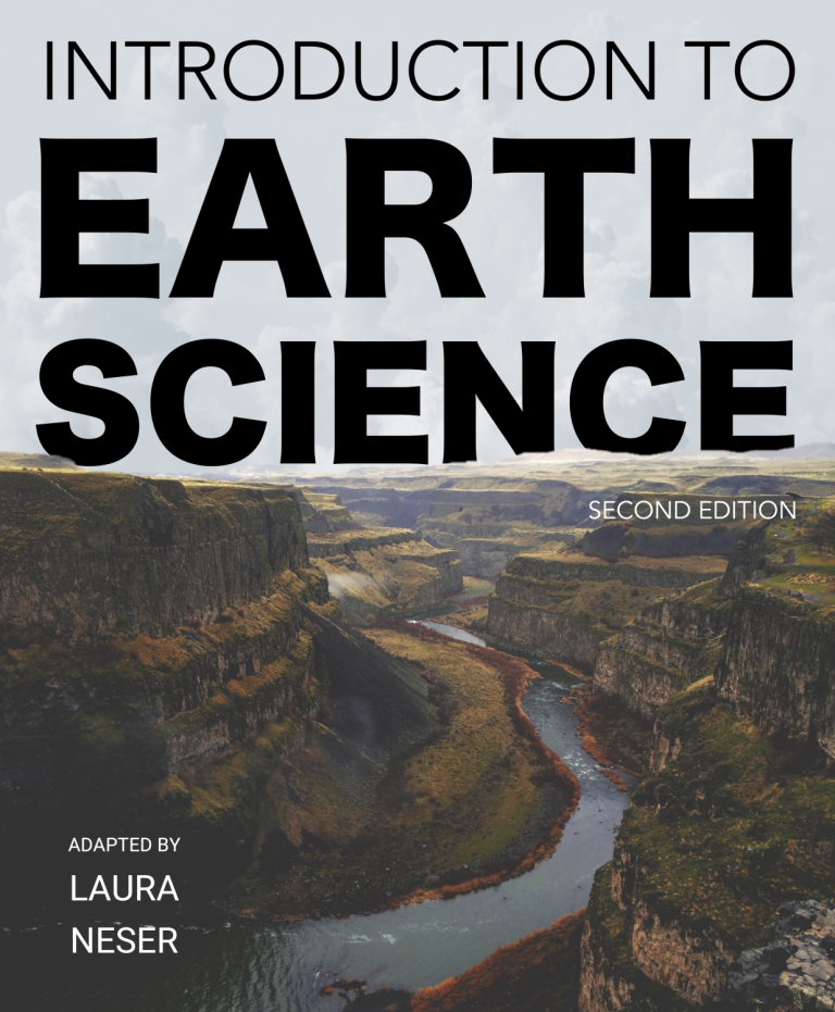 Introduction to Earth Science, Second Edition adapted by Laura Neser (2025). Virginia Tech Department of Geosciences
Introduction to Earth Science, Second Edition is an open textbook designed to provide a comprehensive introduction to Earth Science that can be freely accessed online, read offline, printed, or purchased as a print-on-demand book. It is intended for a typical 1000-level university introductory course in the Geosciences, although its contents could be applied to many other related courses.

 Analyzing Our World with GIS by R. Adam Dastrup (2017): Open Geography Education
When you think of geography do you think about memorizing capitals, rivers, mountains, and states or coloring maps? Sadly, this is how geography is taught too often in K12 schools. In reality, geography is one of the most high-tech scientific disciplines in the science community. Geography is the scientific study of the earth and is one of the original disciplines along with philosophy in trying to understand the world humans live in. The geographic discipline has two sub-categories, physical geography and cultural geography, which allows geographers the scientific credibility to look at cultural issues of economics, demographics, culture, language, religion, or urban planning. It also allows geographers to focus on climate, climate change, biogeography, geomorphology, or environmental issues of pollution, desertification, deforestation, or species extinction. (I would love to see each of the major terms in the previous sentence have a “mouse hover event” so a student can hover and see a very short definition of what each is.

 Nature of Geographic Information Systems by David DiBiase (2014): BCcampus
The purpose of this text is to promote understanding of the Geographic Information Science and Technology enterprise (GIS&T, also known as “geospatial”).
 Essentials of Geographic Information Systems by Jonathan Campbell (2011): Saylor Foundation
Essentials of Geographic Information Systems integrates key concepts behind the technology with practical concerns and real-world applications. Recognizing that many potential GIS users are nonspecialists or may only need a few maps, this book is designed to be accessible, pragmatic, and concise. Essentials of Geographic Information Systems also illustrates how GIS is used to ask questions, inform choices, and guide policy. From the melting of the polar ice caps to privacy issues associated with mapping, this book provides a gentle, yet substantive, introduction to the use and application of digital maps, mapping, and GIS.
 Spatial Thinking in Planning Practice: An Introduction to GIS by Yiping Fang (2014): Portland State University
The goals of this textbook are to help students acquire the technical skills of using software and managing a database, and develop research skills of collecting data, analyzing information and presenting results. We emphasize that the need to investigate the potential and practicality of GIS technologies in a typical planning setting and evaluate its possible applications. GIS may not be necessary (or useful) for every planning application, and we anticipate these readings to provide the necessary foundation for discerning its appropriate use. Therefore, this textbook attempts to facilitate spatial thinking focusing more on open-ended planning questions, which require judgment and exploration, while developing the analytical capacity for understanding a variety of local and regional planning challenges.

 The Physical Environment: An Introduction to Physical Geography by Michael Ritter (2016): Michael Ritter.
The Physical Environment was one of the first, totally online physical geography learning environments. The Physical Environment combines text, images, audio and video programs to deliver the subject matter content. A multimedia online environment enables new and different ways to interact with textbook content. The potential of the World Wide Web to bring remote places to our digital devices, and its ability to interlink bits of information, breathes life into physical geography. The interconnectivity of the Web engages us in new ways of learning.


American Association of Geographers (AAG)
Geography Quizzes (LizardPoint)
Open Geography (opengeography)
Physical Geography of British Columbia (BCcampus)
Visual Geography (Bjørnlund & Kester)
Research Guides by Egan Library | University of Alaska Southeast are licensed under CC BY-SA 4.0![]()
![]()
![]()